Seas and oceans have always held considerable fascination with those more inclined to adventure and exploration. Ancestral mariners adopted various techniques to reach their destination; from celestial navigation that relies on the altitude of the North Star, to mariners’ compasses to identify the wind direction.
Navigational charts are, by far, an immortalised nautical tool. Their inception dates back to the mid-thirteenth century. Notwithstanding the widespread advances, modern sailors still rely heavily on traditional marine charts to navigate vessels well and reach destinations safely.
Why are navigational charts used?
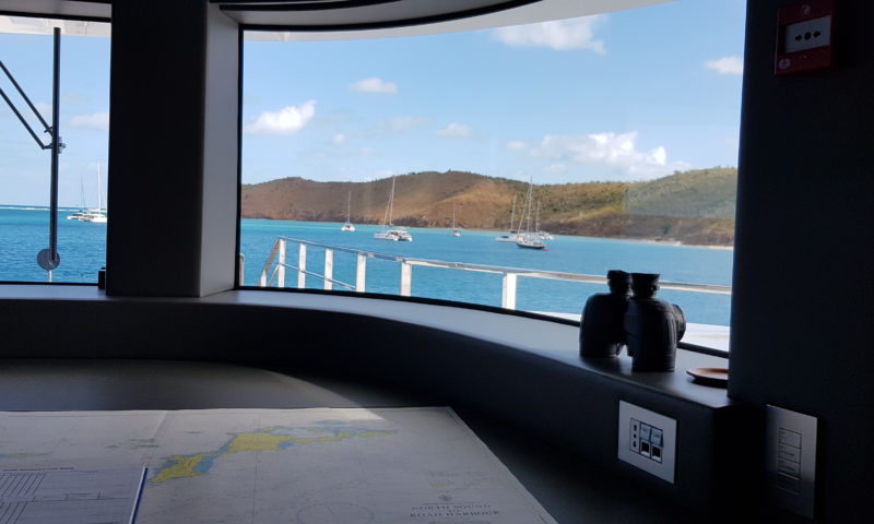
Charts are the equivalent of road maps to mariners. Meticulous drawings highlight detailed representation of marks and positions necessary when transiting waters. Records of water depths, shorelines, bridges, obstructions, dangerous zones, currents and any hazardous items are highlighted to keep mariners away from peril or catching a contravention. Maps are numbered with references to assist sailors as they make their way through tricky waters. Mariners can assess distances by locating their position on the map and refer to the charts to calculate nautical miles to destination.
Do all vessels require a set of charts by law?
Marine regulations state that commercial vessels are obliged to have a set of updated navigational charts onboard. The same rule does not apply to recreational vessel owners. Nonetheless, navigating open waters without precise references is not supported. Many recreational sailors take further initiative, by ensuring their copies are routinely inspected and corrected.
Are electronic charts sufficient?
In an era where technology is taking over, traditional nautical charts are still in high demand. Digital maps are not foolproof and electronic equipment can fail. Nautical maps are drawn with the utmost precision by expert chartists; nowadays on waterproof paper to avoid complications. Marine charts assist sailors in perfectly tracking routes based on the geography of the water areas they are sailing through.
Should mariners rely solely on charts when sailing?
Despite the precision with which navigational charts are drawn, boating experts understand that the only constant at sea is change. Mariners should keep their charts updated, take note of important references on the sheet, determine the vessel’s position and keep bearings under control. Journey plans should be outlined prior to sailing, cross-referencing routes which will be taken when at sea.
How are chart corrections done?
Corrections involve tracing over the original charts, adding new information or changing items already present, such as including bridges, marking new anchorage areas and taking note of movements in rocks following an earthquake. Marine charts retain their original product number and a note on the bottom left-hand side is included, to mark the corrections and the date they were done.
Thomas Smith is the official local representative for the United Kingdom Hydrographic Office. For over 200 years, the UKHO has worked with multiple partners to provide revised information on seabed, coastal and offshore areas; ensuring the provision of safe and secure navigation tools.
We supply charts for the Mediterranean Sea, Black Sea and the Red Sea for commercial and recreational vessels, as well as yacht shops. Our department offers a chart correcting service to visiting ships and those that hold stocks of old charts. Reach out to our representatives and keep your marine records updated.